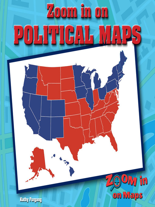
Where does Illinois end and Indiana begin? How do you know you are not entering Kentucky or Missouri instead? This informative look at political maps helps readers understand the symbols used for understanding political maps, including political borders and national and state capitals. Election maps and agricultural maps will also be explored as students analyze them for the information they provide. A follow-up activity leads students to make their own election map and write questions about it.
- Available now
- New eBook additions
- New kids additions
- New teen additions
- Most popular
- Try something different
- See all ebooks collections
- Available now
- New audiobook additions
- Most popular
- Try something different
- See all audiobooks collections